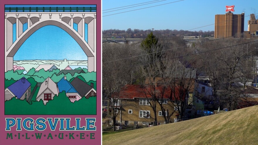
Eight years ago, local historian and writer John Gurda sat down with 88Nine to share stories from Milwaukee’s neighborhoods. The idea for the series came after the release of Gurda’s 2015 book, Milwaukee: City of Neighborhoods, which chronicles 37 contemporary portraits of Milwaukee’s neighborhoods.
With the weather warming and conditions ripe for exploring the city, we decided it was the ideal time to look back at this collection and share Gurda’s very well-informed perspective on these well-known areas of Milwaukee. We’ve taken you from the south end of town to the east side and then swung around to the north. Now, we wrap things up out west with the most colorfully named neighborhood of the bunch.
Piggsville
In addition to its curious moniker, this is probably the most isolated of Milwaukee’s neighborhoods. In fact, you’ve probably driven past — or through it — without even knowing.
Piggsville is nestled in the northeast corner of where the stadium freeway and I-94 meet. The interstate accounts for its southern border, Wisconsin Avenue marks its northernmost point, and it only stretches as far east as 39th street. This tiny chunk of Milwaukee has just 11 streets — and seven of them are dead ends.
So what’s the story behind this small neighborhood with a big (or, um, pig) name? How did it end up with that porcine label? And why do most of us refer to it as “The Valley” instead of its original name? For answers and to discover more about this hamlet, use the player at the top of the page or the embedded video below.


